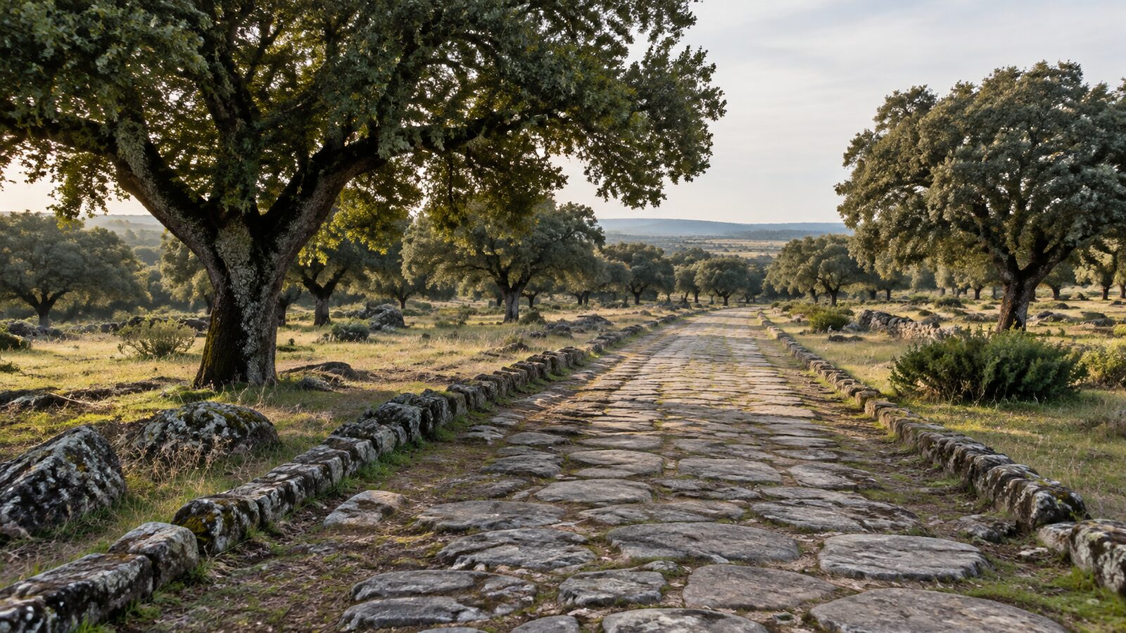
What was the Vía de la Plata?
Vía de la Plata was a Roman road linking Emerita Augusta, today's Mérida, with Asturica Augusta, today's Astorga. Although its popular name suggests a connection with silver, the origin of the word "plata" is debated; the most widespread explanation traces it to an Arabic expression for a paved road. Whatever its origin, the route was used for centuries for trade, livestock movements and military travel, and its course still shapes the territory.
How it crosses Extremadura
In Extremadura, the route runs from south to north, entering around Mérida and Almendralejo, passing through Cáceres and continuing towards Plasencia and the north. It crosses plains, dehesas and villages of great historical value. Today, part of its course follows the modern motorway, while another part is walked by hikers and pilgrims heading for Santiago.
Dehesa landscapes and seasonal livestock movements
The route makes more sense alongside the dehesa: a landscape of holm oaks and pasture through which flocks of sheep and other animals moved. The livestock tracks crossing the region form part of a historic network of livestock routes which still exists and may affect individual properties. If you are thinking of buying, check for a livestock route nearby or on the property; we explain this in the guide to easements and boundaries. To understand the landscape, read what a dehesa is.
Cities and villages along the corridor
- Mérida: a major Roman archaeological ensemble and the capital of Extremadura. See Roman Mérida and nearby rural properties.
- Cáceres: a monumental city of medieval and early modern origins, with services and cultural life.
- Plasencia and the north: access to the northern mountains and valleys.
- Villages with Roman road sections, bridges and milestones along the route.
Buying rural property near the corridor
Being near the route has practical benefits: good road links, nearby cities with services and a flow of cultural tourists and pilgrims. This may interest anyone considering rural accommodation or complementary activities, always with the relevant licence (see rural tourism on a country property). It may also mean more noise and traffic if the property is right beside a major road.
Prices depend heavily on the section: near cities and with good access, they tend to be higher than in more remote areas. For comparison, review the guide to price per hectare in Extremadura.
Heritage and rules
Properties with archaeological remains or near protected cultural assets may face restrictions on building work and earthmoving. If a property contains a Roman road, bridge or historic remains, heritage protection may affect what you can do. Ask the town hall and heritage authorities before planning any work.
The Camino de Santiago along Vía de la Plata
Part of the route is now walked as Camino Mozárabe and Vía de la Plata towards Santiago de Compostela, with pilgrim hostels, waymarks and walkers for much of the year. For nearby property owners, this may bring accommodation or service opportunities, but also a need to protect privacy and safety: ensure appropriate fencing and mark your property boundaries.
What to check before buying
- Actual distance to the route, motorway and cities.
- Livestock routes, public paths or easements.
- Heritage or environmental protection affecting the plot.
- Noise and traffic if there is a nearby road.
- Actual year-round access and utilities.
- Tourism-use possibilities and licensing.
Further reading
If you are interested in Llanos de Cáceres, see rural properties in Trujillo and Llanos de Cáceres. To choose between provinces, read Cáceres or Badajoz, and for daily life, living on a rural property in Extremadura.
Reading the landscape along the route
Travellers along Ruta de la Plata see a succession of landscapes explaining the region's economic history: cereal plains and olive groves to the south, dehesa in the centre, and mountains and valleys to the north. Stone walls, old bridges and springs beside the route are traces of centuries of pastoral and commercial use. Understanding this landscape helps you assess a property beyond its size.
Services for those living nearby
The route passes through towns with basic services and medium-sized cities with hospitals and shops. This makes life easier for those nearby, provided the actual distance from the property is checked. Before deciding, drive the journey at different times and record real travel times to the health centre, supermarket and motorway.
Events and festivals
Along the corridor there are festivals, fairs and celebrations of interest, from classical theatre in Mérida to livestock and local produce fairs. These offer opportunities to get to know the area and its people before buying. They also bring busier periods worth considering if the property is near a tourist destination.
A reference point for choosing an area
Ruta de la Plata also offers a practical guide to deciding where to search: the southern stretch, with irrigated land, olive groves and vineyards, is flatter and more crop-focused; the centre, with dehesa, is more livestock-focused; and the north combines mountains, valleys and nature tourism. Start with the section best suited to your project, then widen the search.
Final recommendation
If history appeals to you, Ruta de la Plata offers a distinctive setting for country living with culture a few minutes away. Compare properties along the same section, check the rules and always request full documentation before deciding. To review the complete buying process, see how to buy rural property in Extremadura.